REMOTE SENSING
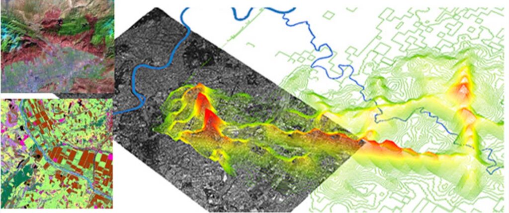
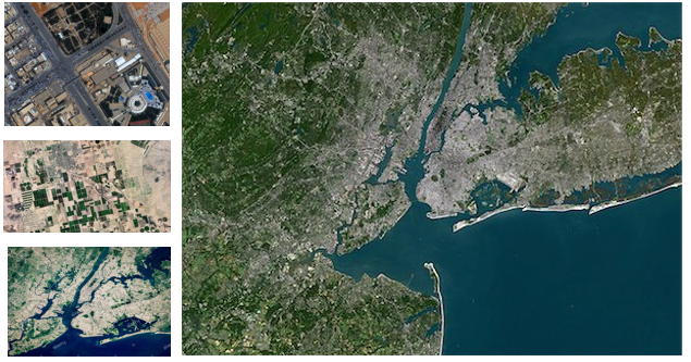
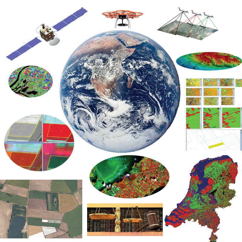
We offer remote sensing services to our worldwide clients. Remote sensing services guarantee precise and cost-effective data collection solution for Planning and designing of mapping projects. We are offering expertise in image-classification, correction, enhancement, change detection and data processing services. These services are rendered as per the project’s requirements.

We having worked with most of the free / commercially available satellite data products including Landsat, SPOT, IKONOS, sentinel- 2, QuickBird, ASTER, MODIS, and NOAA.
Our technical teams have good hands-on experience of using remote sensing software’s like eCognition Developer, ERDAS IMAGINE, ENVI, and ER Mapper etc.

