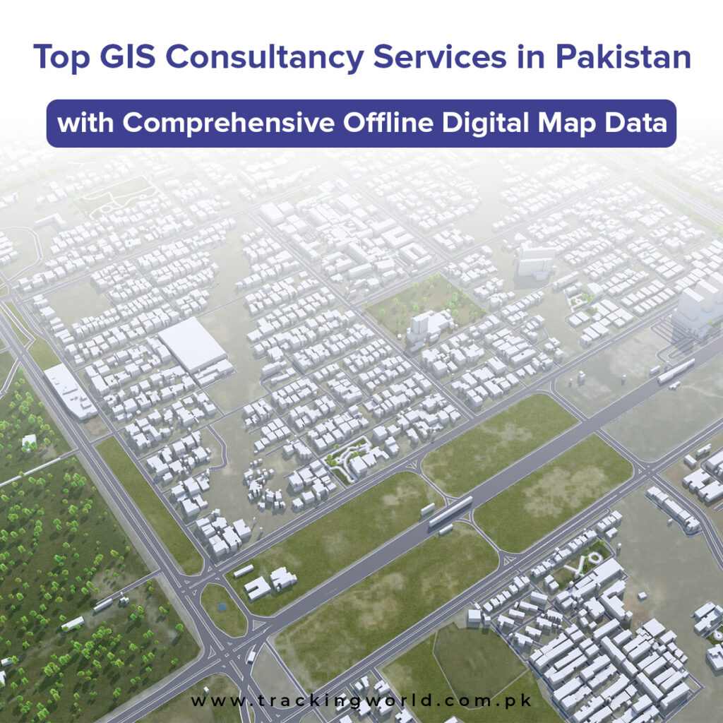
In today’s data-driven world, Geographic Information Systems (GIS) have become a backbone for smarter planning, efficient operations, and informed decision-making. In Pakistan, where diverse terrain, growing cities, and infrastructure challenges demand accuracy, GIS consultancy services with comprehensive offline digital map data are more important than ever.
Businesses, government departments, utilities, and development organizations now rely on GIS not just for maps—but for insights that drive growth and sustainability.
What Are GIS Consultancy Services?
GIS consultancy services involve the collection, processing, analysis, and visualization of geographic and spatial data. These services help organizations understand patterns, locations, and relationships through digital maps and geospatial intelligence.
A professional GIS consultancy provides:
High-accuracy digital maps
Spatial data analysis
Custom GIS solutions
Offline and online mapping systems
Integration with GPS, IoT, and enterprise systems
In Pakistan, offline GIS data is especially critical due to connectivity limitations in remote and rural areas.
Why Offline Digital Map Data Matters in Pakistan
While online maps are common, offline digital GIS maps offer unmatched reliability and precision, particularly in Pakistan’s challenging environments.
Key Benefits of Offline GIS Maps:
Work without internet connectivity
High positional accuracy
Detailed road, boundary, and asset mapping
Secure, controlled access to sensitive data
Faster performance for field operations
Offline GIS data is essential for sectors such as defense, telecom, utilities, urban planning, disaster management, and large-scale infrastructure projects.
Industries That Benefit from GIS Consultancy in Pakistan
Urban Planning & Smart Cities
GIS helps planners design smarter cities by analyzing land use, population density, traffic flow, and utilities.
Logistics & Transportation
Route optimization, fleet movement analysis, and delivery planning become efficient with GIS mapping.
Utilities & Energy Sector
Electricity, gas, and water providers use GIS to map networks, detect faults, and manage assets.
Agriculture & Land Management
GIS supports crop monitoring, land classification, irrigation planning, and yield optimization.
Government & Public Sector
GIS enables better decision-making for census data, emergency response, and infrastructure development.
What Makes a Top GIS Consultancy Service?
When choosing a GIS consultancy service in Pakistan, the following factors define quality and reliability:
✔ Comprehensive Offline Digital Map Database
Nationwide coverage with updated and verified spatial data.
✔ Custom GIS Solutions
Tailored mapping and analysis based on industry-specific needs.
✔ Advanced GIS Tools & Technology
Use of satellite imagery, GPS data, AI-based analytics, and GIS software.
✔ Local Expertise
Deep understanding of Pakistan’s geography, road networks, and regional challenges.
✔ Scalable & Secure Systems
GIS solutions that grow with your organization and protect sensitive data.
How Tracking World Delivers GIS Excellence
Tracking World stands among the top GIS consultancy service providers in Pakistan, offering robust GIS solutions backed by one of the largest offline digital map databases in the country.
Our GIS Capabilities Include:
High-resolution offline digital maps
Spatial data analysis & visualization
GPS & GIS integration
Custom GIS dashboards & reports
Nationwide mapping coverage
Our GIS services are designed for accuracy, reliability, and real-world usability, even in low-connectivity environments.
The Future of GIS in Pakistan
GIS technology is rapidly evolving. With the integration of:
AI & machine learning
IoT-based sensors
3D and predictive mapping
Cloud & hybrid GIS platforms
Pakistan’s GIS landscape is moving toward smarter, more automated decision-making systems. Organizations that invest in GIS today are positioning themselves for long-term efficiency and competitive advantage.
Final Thoughts
Choosing the top GIS consultancy services in Pakistan with comprehensive offline digital map data is no longer optional—it’s essential. Whether you’re planning infrastructure, managing assets, or optimizing operations, GIS provides the clarity and control needed to move forward confidently.
If you’re looking for accurate maps, reliable offline data, and expert GIS solutions, Tracking World is ready to support your journey.
Contact Tracking World today and unlock the power of GIS for your business or organization.